
Researchers at SOCAAR, in collaboration with the Ontario Ministry of the Environment, Conservation, and Parks, have published a new method for measuring vehicle emissions from roadways.
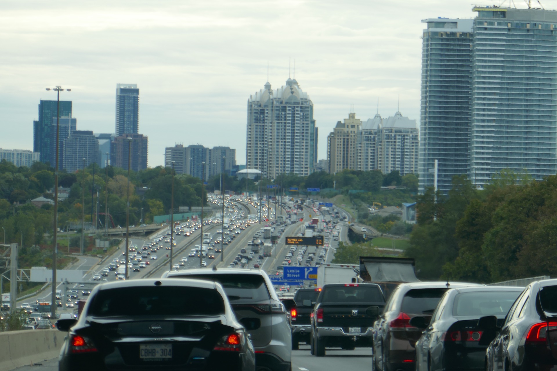
Traffic is a major source of air pollution and has negative impacts on human health and the environment. Exposure to elevated concentrations of traffic-related air pollutants has notably been associated with a higher risk of respiratory diseases. Such high levels have been detected up to 250 m of major roadways, a distance within which around a third of Canadians is living.
SOCAAR researchers measured the concentration of air pollutants beside Highway 401 in Toronto over a 2-year period. They developed a simpler method combining measurements from roadside concentrations with a model on how air disperses to directly calculate real-time vehicle emission rates. This new approach provided good results compared to more sophisticated models using multiple parameters, including local meteorological inputs. It can provide an easy and fast method to evaluate vehicle emissions, using measurements made beside roads.
The researchers found that per-vehicle emissions were much higher during hours with low traffic but a greater share of heavy vehicles (e.g. Monday-Friday 3:00 to 4:00 a.m.). Medium to large trucks emitted higher amounts of key pollutants such as nitrogen oxides, black carbon and ultrafine particles.
Read the research paper
Taylor D. Edwards, Jonathan M. Wang, Nathan Hilker, Cheol-Heon Jeong, Greg J. Evans, “Measurement of real-world roadway emission rates through a fitted dispersion model,” Journal of Atmospheric Pollution Research, March 2021.
This story was originally posted on the Southern Ontario Centre for Atmospheric Aerosol Research (SOCAAR) website, March 1, 2021.