

Dear Colleagues,
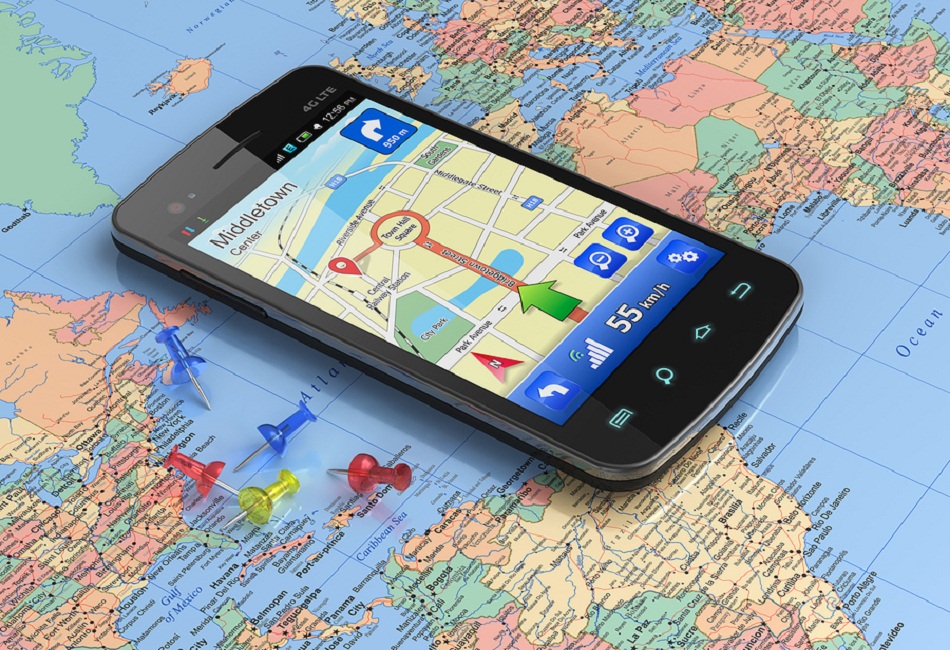
As part of a broader initiative to modernize the Transportation Tomorrow Survey (Toronto’s regional OD survey), a series of pilot tests and field experiments investigating core and satellite solutions for data collection will be conducted. One of the pilots set to begin in the coming months is a controlled experiment assessing the strengths and weaknesses of multiple location logging smartphone apps, as well as trace processing algorithms and software.
The goal of the pilot is not to determine one best app, but rather to assess the state of the art in terms of both location logging, as well as mode and purpose inference – i.e., where do we stand with respect to being able to accurately generate data similar to a travel diary while limiting the burden placed on respondents.
To participate, one need not have both an app and processing capabilities (either or both accepted).
Why participate: If your lab or company believes it has a great location logging app or set of processing algorithms, here is the perfect opportunity to confirm this in a rigorously controlled experiment, carried out by the TTS’ research arm. You will also be provided with feedback on your product and find out how well it performs when compared to peers. This performance assessment will encompass a variety of urban settings and be done with respect to different desired outcomes. Read more about the TTS 2.0 Smartphone app assessment participation details.
Important dates: Candidate submissions to be received no later than April 15, selection of participants to be confirmed April 20. Apps need to be ready for rollout in late May, processing to begin mid-June, with results in August 2016.233
Assessment: Both logging and processing will be assessed. The same trips will be carried out using each app on its own device. The performance of apps designed for location-logging and various processing algorithms will be compared based on how accurately they can capture and infer trip details (start/end times, mode, purpose) under different conditions.
Apps and processing suites can be commercial or from academe, but the test environment will focus on real-world application: the apps must not only be able to provide high quality data, but must be designed in such a way as to be compatible with real-world respondents’ lifestyles (i.e., battery drain cannot be excessive, nor can the app place the burden of starting and stopping location logging on respondents). To be clear, we understand different apps will have different strengths and weaknesses based on how they operate: a trade-off between accuracy and battery life being the most obvious difference. What we hope to better understand after this experiment is what approaches to logging and processing traces work best when employed together in a core-satellite framework.
Candidates are sought. Numerical assessment results will be kept internal, whereas only the list of participating products/labs and broad conclusions regarding the strengths and weaknesses of different approaches to logging and processing will be reported in documents aimed at wider distribution. This makes participation a great way to get your name out, demonstrate expertise and provide a selling point for your work.
Read more about the TTS 2.0 Smartphone app assessment participation details. For those interested in participating or who desire further information, please contact Siva Srikukenthiran.